Header image: A tent that was used to tag and ring caught Spoon-billed sandpipers during the Rudong expedition
United by global technology, conservationists 5,000 miles apart huddled around our computers, staring at the same picture. We were poring over Google Earth, and a single spot had us all mesmerised.
A few months earlier, WWT researchers studying spoon-billed sandpipers had journeyed to a huge bay in central China where the birds are known to stop over on migration. We caught three spoonies, fitted each with a satellite tag no heavier than a large paper clip, and let them go - to continue migrating south to who knew where. And now electronic messages from one of those tiny tags were giving us a fix - a mysterious coastal site in south China.
Our colleagues in Beijing, Shanghai and Hong Kong were baffled – this place was completely unknown to them. But following the signal, they travelled to the distant mudflats in search of spoonies. When they arrived, they were amazed to find the birds feeding... and alarmed to discover that hunters had put up nets everywhere. Within a day, Chinese police had ensured that the illegal nets were taken down, contributing to the ongoing protection efforts in the area.
Tiny trackers
The use of tracking devices has, until recently, been a big bird thing. Albatrosses, swans and geese may have been sartorially challenged by tags that were, of necessity, like bird daypacks, but for two decades these heavy, powerful birds had carried them in the name of research.
Always putting their safety first, WWT researchers ensured that no bird was encumbered with anything that was more than 3% of its own body weight. But for a spoonie the size of a sparrow, even the lightest tag in existence would have weighed more than the bird itself.
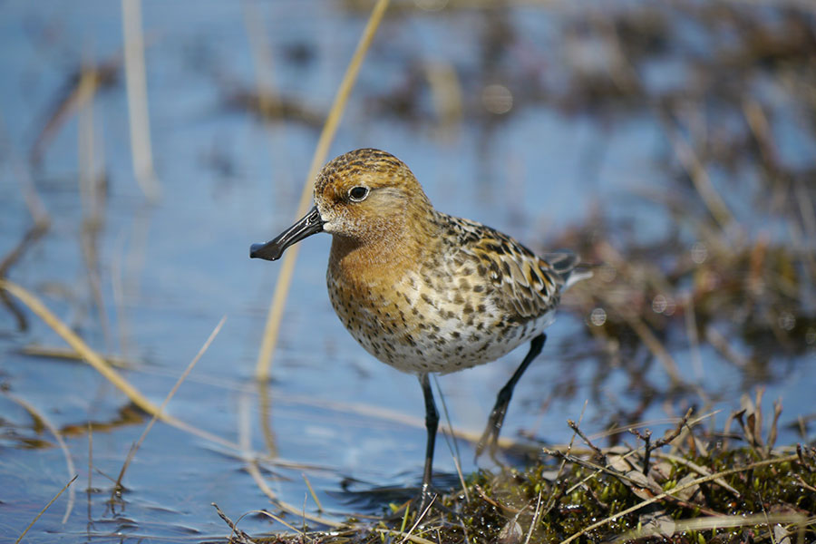 Spoon-billed sandpiper
Driven by the demand for information, human ingenuity has transformed tracking. No researcher would ever put a tag on a bird without a specific conservation purpose and, as we race to save endangered species, scientists are meeting our needs for more understanding with higher-tech, lower-weight devices that are staggering in what they can tell us. Weighing just 1.7g, satellite tags, which send signals to satellites in space that then provide birds' coordinates, have been attached to spoonies, guiding us to their secret stopover points and wintering sites we knew nothing about.
Swan satnav
The most basic tracking requirement is to find out where birds go, and a system that has served us for two decades still provides results. A GPS tag receives a signal from a satellite and transmits that either via UHF to an aerial or to the mobile phone network. We fitted Bewick's swans with GPS tags for our Flight of the Swans expedition and they have illuminated our understanding of both where the birds spend the summer and where they stop over on their epic journeys.
In Russia, we found Bewick's swans breeding and moulting in previously unknown places. Migrating swans touched down to refuel at sites that were new to us in Denmark and the Baltic countries. Such knowledge enables us and our partners to secure better protection for the birds, both in their breeding grounds and along their migration flight path.
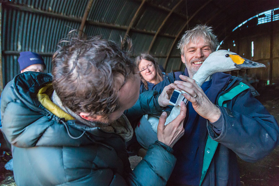 We put solar-powered tracking collars on Bewick's swans to assess teh impact of offshore and onshore wind farms along their migration route from Europe to Russia
Keeping on track
Remarkably, satellite technology has highlighted birds' astonishing innate navigational abilities. And none more so than the taiga bean geese that set off from central Scotland in winter bound for Scandinavia. Out at sea, an adverse wind picked up, blowing three of the birds completely off course. They ended up looping up to Orkney to rest. But then location data showed that, rather than resuming their journey from Orkney, the birds elected to fly south to where they began and start all over again!
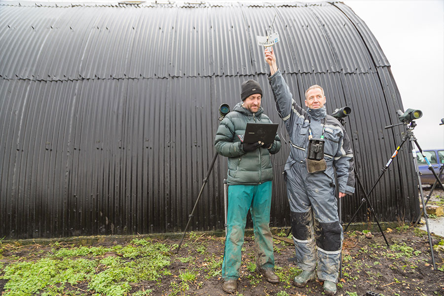 Using the GPS collars, Larry Griffin tracks the routes of Bewick's swans at Welney after a Bewick's swan catch
Following the scoters
A clever variation on GPS is an instrument that relies on only the sun and a very accurate recording of time. A geolocator contains a clock with a meter that calculates the time between sunrise and sunset by measuring light levels every five minutes. The built-in date recorder allows us to calculate latitude and longitude to locate the travelling bird. Geolocators solved the perpetual puzzle about where our common scoters spent the winter. These loch-nesting seaducks went out into the Atlantic, but where? We know from bird counts that continental scoters were wintering at sea all the way from the Baltic down to Mauritania, but no British bird had ever been found. Were they confined to just one bay where a single oil spill might wipe out the entire population?
Quite the reverse. The geolocators showed a great range of dispersal, with birds from the same Scottish loch spread out across the ocean, thousands of miles apart. Even better news - there were no 'at risk' hotspots. The technology can even tell us if the birds are on saltwater or not.
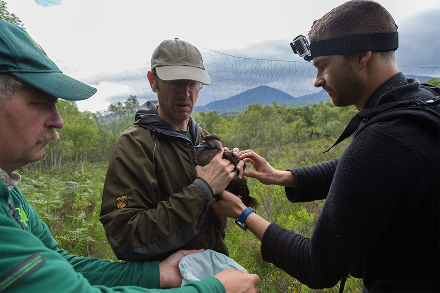 Checking a common scoter and preparing it for tagging
Microchippping godwits
One type of tracking tag takes its inspiration from vets and supermarkets. Implanted or glued-on dog microchips the size of grains of rice can be clocked by a reader as if they were packets of tea on the checkout. Long grass on the Nene Washes meant that we could not see which of our study black-tailed godwits were going to nest. But thanks to scientists from RSPB, our partners on Project Godwit, who placed automatic readers in every nest, they simply scanned each microchipped godwit as it sat down, which sent back the information.
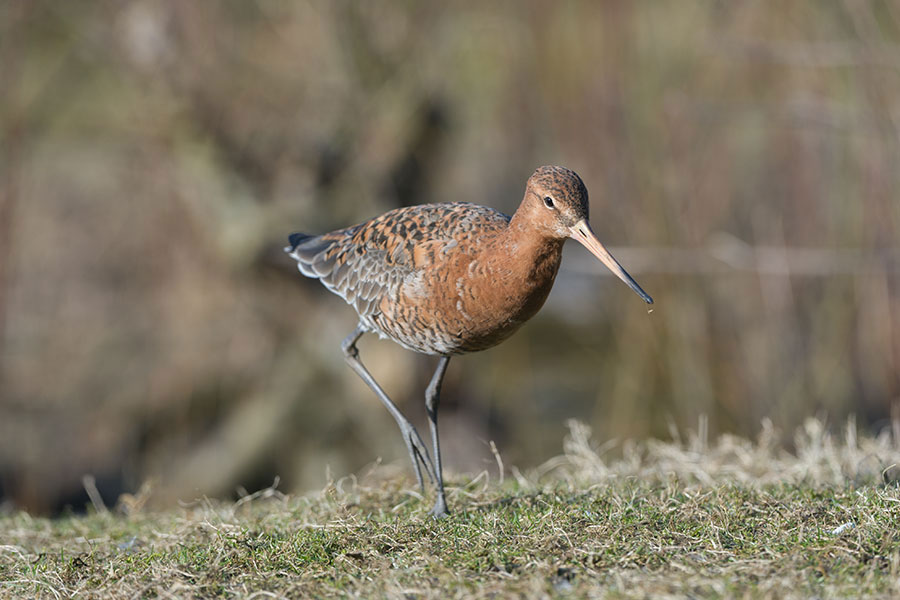 Black-tailed godwit
Around the world
The most sophisticated and expensive tracking devices are beginning to answer some of conservation's most intractable problems, as WWT researcher Larry Griffin discovered when he embarked on what proved to be the most exhausting wild goose chase of his life. Greenland white-fronted geese had been returning to Scotland every autumn in smaller numbers and we needed to work out why.
Larry joined an expedition to the remote tundra of western Greenland where the birds nested. On the first day, the team set off on foot, slogging over boggy, hilly, mosquito-ridden ground for three hours until they finally spied a goose on the hill opposite. The goose saw them too, lifted off and disappeared over the horizon. Such a challenging environment made it difficult to study the birds.
Now, Larry may get all the goose-nesting information he needs, without even having to leave Scotland.
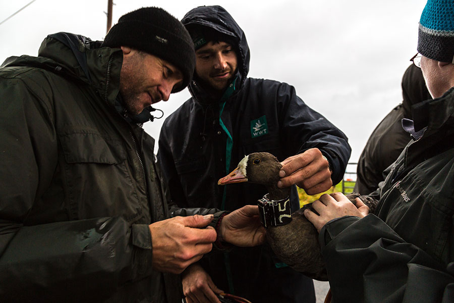 For years, large-bodied birds such as this Greenland white-fronted goose have been sharing their secrets thanks to GPS collars
Tech provides the answers
Birds on Islay have been fitted with neck-collar accelerometers, the same electromagnetic devices that are built into human step counters.The rotating magnets produce patterns like the pulse of a heartbeat, showing when a bird is moving in a particular way. They display the rhythmic head-bobbing of a feeding bird, the stillness when a bird is incubating eggs and the short walks when it is feeding with its young close to the nest. The accelerometer data provides strong clues about nesting productivity - did the birds lack the body reserves to lay a clutch, or were their eggs or young taken by a predator?
The tag also gives the basic locational details about white-front navigation. We have learned that their migration is more hazardous than we ever imagined, with a sizeable proportion of geese being blown way off course and having to make adjustments of several hundred miles. Could the birds be lingering too long at their halfway point in Iceland because of changes in agriculture, only to hit winter storms? Or is climate change (that brings more of these storms) having a significant impact on their fitness to breed?
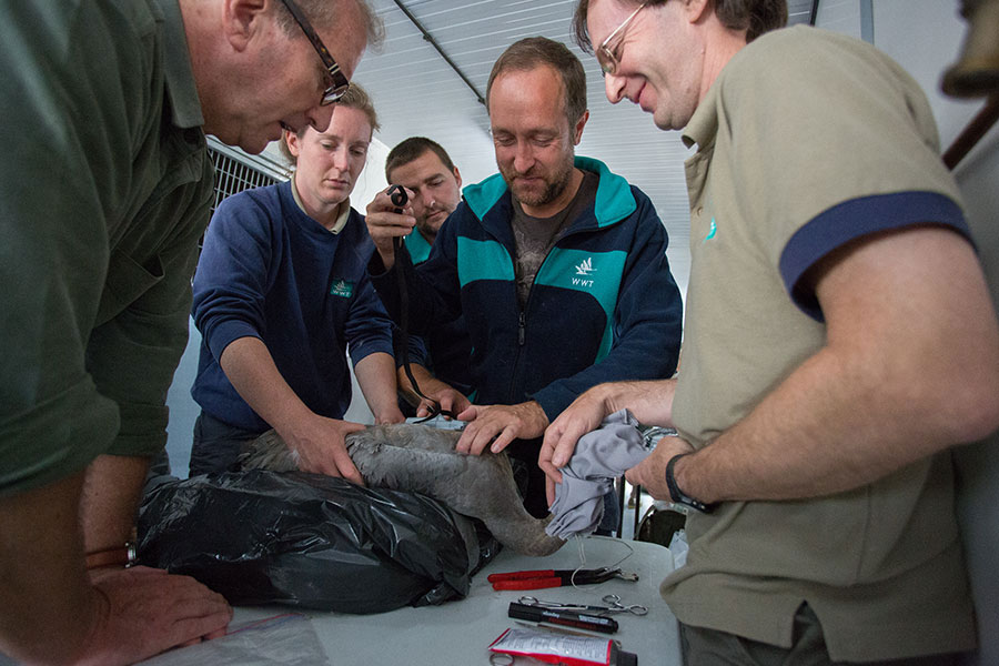 Many of the precious Eurasian cranes bred as part of the Great Crane Project were fitted with data loggers
Protecting all birds
Closer to home, accelerometers are giving us strong pointers about common cranes' ability to spread and thrive. When flooding hit the Somerset Levels, the young birds were forced out of familiar territory to higher ground. Tracking showed us that they were having to use more energy feeding in more places for shorter periods and flying longer distances each day from their roosts. But every bird found enough food to survive, a clear indication that their future range will not be restricted by a lack of suitable habitat.
No researcher who has tagged a threatened species would be blinded by science to the risks involved. We cannot afford to damage feathers, restrict the beat of a wing or slow down species that rely on speed for survival, and even expert handling might stress a bird. But every year, trackers are becoming slimmer, smarter and safer.
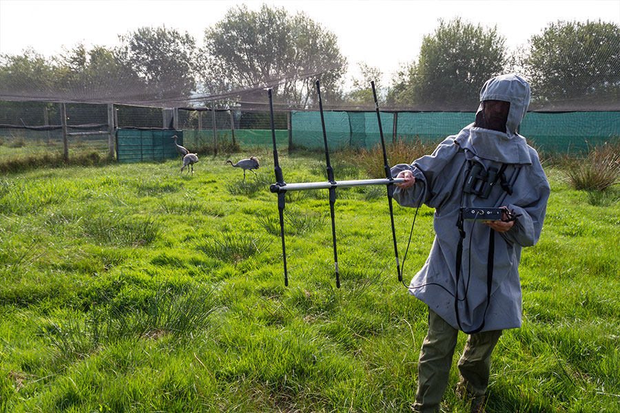 The juvenile cranes also have unique leg rings so that we can identify each one and monitor their wellbeing closely after their release from the breeding enclosures
What next?
As innovation moves faster than imagination, we might wonder where technology will take us next. Geoff Hilton, WWT's Head of Conservation Evidence, says: "A sound recording device would be invaluable. We know there are places where migrating birds are threatened by hunting, but we don't always know where they are. Imagine if we had a tracker that recorded gunshot around a bird that survived. That's the clue we would need to go to a site and see if unregulated hunting is taking place." The potential of tracking technology is huge, and we're excited to see how it can continue to help ouir work at WWT.
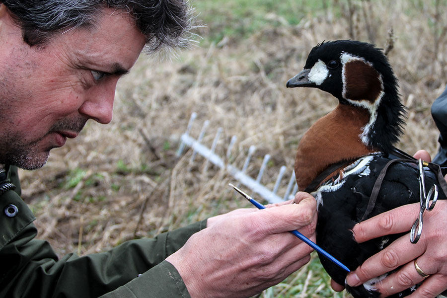 We put GPS radio transmitters on endangered red-breasted geese to assess the impact of hunting on populations in Bulgaria